In the previous post, I showed how Folium can be used to create interactive maps of GeoPandas GeoDataFrames. Today’s post continues this theme. Specifically, it compares Folium to another datav...
https://anitagraser.com/2019/11/03/folium-vs-hvplot-for-interactive-maps-of-point-geodataframes/
In Publishing interactive web maps using QGIS, I presented two plugins for exporting web maps from QGIS. Today, I want to add an new member to this family: the qgis2web plugin is the successor of...
https://anitagraser.com/2015/10/01/quick-webmaps-with-qgis2web/
We all know that QGIS is great for designing maps but did you know that QGIS is also great for interactive web maps? It is! Just check out qgis2leaf and qgis2threejs. To give these two plugins a ...
https://anitagraser.com/2015/01/31/publishing-interactive-web-maps-using-qgis/
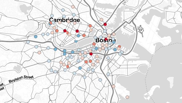
Today, I’ve been working on some station statistics. From the trip data, I calculated incoming and outgoing trips per station as well as the station’s first day of operations. Combining this ...
https://anitagraser.com/2012/10/20/mapping-hubway-station-stats/
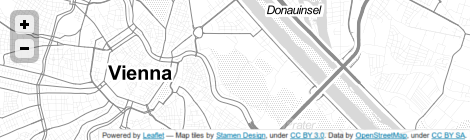
Today’s post is a note-to-self on how to set up a really quick little Leaflet web map with Stamen’s “Toner” background and a WMS overlay served by QGIS Server. Note the use of the map par...
https://anitagraser.com/2012/09/19/leaflet-stamen-toner-and-qgis-server-an-intro/